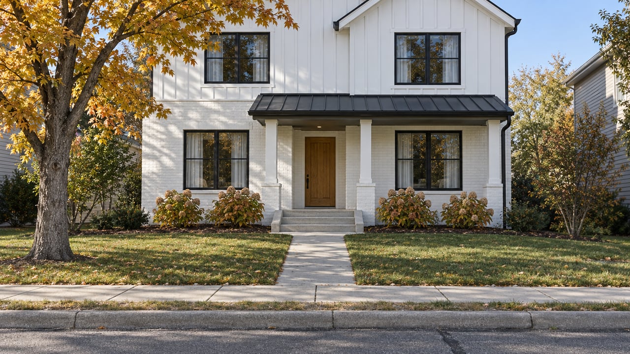
The Swamp Rabbit Trail Is Coming to North Main's Edges, and Its Streets Are the Route Between
October 22, 2026
October 22, 2026
If you ride, run or push a stroller out of North Main toward the Swamp Rabbit Trail, you probably take one of two routes. One goes down Main Street to Falls Park. The other crosses Rutherford Road and Pete Hollis Boulevard to reach the trail near the Amtrak station. City Councilmember John DeWorken named those same two routes when he explained to the Greenville Journal that North Main has no direct connection to the trail.
Both routes take you out of the neighborhood before you reach any trail. The city has been planning a fix since 2025. The plan it now has will bring the trail to two points at North Main's edges, and the ride between them will stay on the streets you already use. That makes the paving, striping and crossings inside the neighborhood the part of the project that changes your ride. The trail spurs bolt onto that.
The first plan ran through the middle of the neighborhood. In October 2025, city officials gave City Council a preferred route for what they called the North Main Connection. It would have joined the Orange Line extension to the Church Street and Wade Hampton Boulevard intersection by way of North Main Street and Gallivan Street, WSPA reported. The city said more than 860 people commented on the route options.
Six months later, the city changed course. According to the Greenville Journal's April 7, 2026 report, residents had raised concerns about building a multi-use trail through the neighborhood. DeWorken summed up the feedback to the Journal this way:
"At the end of the day, I think people love sidewalks and bike lanes, but they just were not enthusiastic to have the trail go in their front yard."
Residents had raised more specific worries at a July 2025 public meeting. In the Greenville Journal's coverage of that meeting, one said a street was too small for the trail, and another said it would be hard to see cyclists when pulling out of a driveway.
The revised plan keeps the goal of linking North Main to the trail but changes where the new pavement goes. Here are the two versions side by side:
| October 2025 preferred route | April 2026 revised plan | |
|---|---|---|
| Where new trail runs | Through the neighborhood via North Main Street and Gallivan Street | Two spurs at the neighborhood's edges |
| Northwest end | Joins the Orange Line extension near Worley Road | Orange Line extended from Worley Road to Rutherford Road, with a new pedestrian crossing on Rutherford |
| Southeast end | Church Street and Wade Hampton Boulevard | Mohawk Drive near Community Tap to the Wade Hampton Boulevard and North Church Street intersection, with crossing improvements |
| Between the ends | Trail | Existing bike lanes and sidewalks |
Both ends of the revised plan sit at places North Main residents already know. On the northwest side, the spur picks up the Orange Line. That branch now leaves the Green Line at West Washington Street and ends at Buncombe Road. Greenville County plans to add 1.5 miles along an inactive rail corridor to reach Worley Road, near the event venue Other Lands. The city's spur would carry the trail from there to Rutherford Road. On the southeast side, the spur starts at Mohawk Drive by Community Tap and ends at the Wade Hampton and North Church intersection, which also gets crossing improvements.
That puts the two new crossings, one on Rutherford Road and one at Wade Hampton and North Church, at the busiest roads on the neighborhood's edges. Today, the Rutherford crossing is the obstacle on the Amtrak-station route DeWorken described.
Under the April plan, anyone riding from Rutherford Road to Mohawk Drive uses existing bike lanes and sidewalks. DeWorken told the Journal the city will look into sidewalk and bike lane improvements in the neighborhood later. So the condition of those streets is the condition of North Main's trail connection.
Some of those streets changed this summer. The city's $1.7 million resurfacing program started July 16, 2026, on Townes Street from West Elford Street to Park Avenue. Sections of Randall Street and Whitehall Street were scheduled for July 22 to 24. The program covers 20 streets citywide through the end of the year and got $850,000 in state-matched funding through the Greenville Legislative Transportation Committee, according to the Greenville Journal.
By the end of July, the city reported that paving on Townes from Elford to Park was done, with bike lane protectors to be added once the road was re-striped. Repaving was still underway on Randall and Whitehall in the North Main neighborhood, per the Journal's July 31 update. FOX Carolina's August 3 report said the same: Townes paving finished, with striping and lane separators still to come, and Randall and Whitehall work still in progress.
The Townes protectors come from a design the city announced in December 2025. As the Greenville Journal reported, that plan removes the median between West Elford Street and West Park Avenue and adds a two-way protected bike lane on the west side, more than 20 parallel parking spaces and high-visibility crosswalks. At the time, the city estimated the cost at $200,000 from capital reserves. The Post and Courier has described Townes, along with River and Richardson streets, as a possible downtown bike corridor linking North Main, the West End, the Swamp Rabbit Trail and Bon Secours Wellness Arena. When the protectors go in, the ride south toward downtown will have a separated lane for the first time.
The newest schedule on record is older than the April redesign, so read it as background. In October 2025, the city outlined a six-month feasibility study, then about 12 months of engineering, and then construction bids in late 2026 or early 2027, WSPA reported. That timeline was set for the route through the neighborhood, and the city has since dropped that route.
Here is the record in order:
The $5 million estimate was for a two-mile trail through the neighborhood. The April plan builds two shorter spurs and a pair of crossings, so the old figure probably doesn't describe the current project, and the city has not published a new one. The county's Buncombe-to-Worley segment, which the northwest spur depends on, has no public opening date either. The city's North Main Connection project page is the place to watch for the next update.
Until the spurs exist, getting from North Main to the trail works the way DeWorken described it: down Main to Falls Park, or across Rutherford and Pete Hollis to the trail by the Amtrak station. If you go the Townes way, you are riding the newly paved stretch from Elford to Park. The two-way protected lane on the west side is the change to watch for there. Watch Rutherford Road and the Wade Hampton and North Church intersection too, because the new crossings planned for those spots are where the trail will reach the neighborhood.
I keep an eye on projects like this because they change how a street feels long before they appear in any listing. If you live in North Main and want to talk through what the connector could mean for your block, or you're weighing a move to the neighborhood, Amanda Holmes would be glad to help. Schedule a consultation.
Stay up to date on the latest real estate trends.

Amanda takes pleasure in building relationships with her clients and their families, delving into their needs, and assisting them in discovering the ideal home that suits their distinctive lifestyles.